Southeast Davie runs from Griffin Road to Stirling Road between SW 76th Avenue and the Turnpike. Zoned for Hollywood Hills High; ZIP 33314 $397,432.
Last checked Oct. 8, 2026. Sources: the Town of Davie’s comprehensive plan and Wolf Lake Park Trail page, Broward County Public Schools’ 2025-26 attendance boundaries, the Florida Department of Education’s 2026 school grades, the Zillow Home Value Index and OpenStreetMap. Part of our Davie neighborhoods guide.
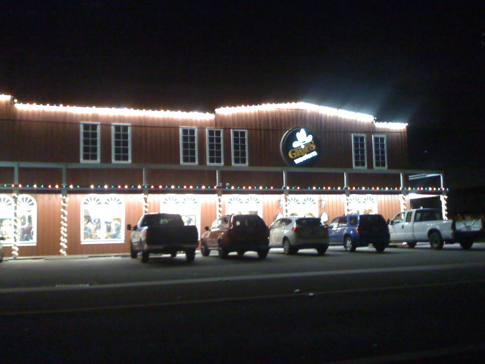
Southeast Davie is the farm-and-ranch side of the old town, just south of downtown. The town’s comprehensive plan calls it Planning Area 9 and describes it as “predominantly agricultural in nature with scattered low-density single-family residential development,” with shops along Griffin Road, Davie Road and Stirling Road. The plan says farming has declined as new homes followed the road widenings and easy access to Florida’s Turnpike.
What this means for you
- Zoned high school: Hollywood Hills High (graded C for 2026) for the whole area. Confirm any address in Find My School.
- Home value: the typical home in ZIP 33314 was worth $397,432 in August 2026, Zillow says.
- Nearest interstate exit: Florida’s Turnpike Exit 53 (Griffin Road), on the area’s northeast corner.
Where it is
The plan places Planning Area 9 south of Griffin Road, generally north of Stirling Road, east of SW 76th Avenue and west of Florida’s Turnpike. Davie Road runs north-south through the middle. The plan suggests the commercial strip on the south side of Stirling Road be evaluated for redevelopment. Downtown Davie and Town Hall are directly north across Griffin Road; Hollywood and Cooper City are to the south.
The whole area is in ZIP code 33314, according to the Census Bureau’s ZIP code boundaries.
Schools
On Broward County Public Schools’ 2025-26 attendance boundary map:
| Level | School | Where | 2026 state grade |
|---|---|---|---|
| Elementary | Silver Ridge Elementary, 9100 SW 36th St. | Most of the area | A |
| Elementary | Davie Elementary, 7025 SW 39th St. | Northern streets | B |
| Elementary | Driftwood Elementary | Eastern streets | B |
| Middle | Driftwood Middle | Whole area | C |
| High | Hollywood Hills High | Whole area | C |
Letters are the state’s 2026 school grades; full report cards are on EDStats. Check the exact address in Find My School; the district’s school choice page explains magnet and choice options. More: our Davie schools guide.
Home values
The Zillow Home Value Index put the typical home in ZIP 33314 at $397,432 in August 2026, down 2.2% from $406,446 in August 2025. The town-wide figure was $516,933, down 2.1%. Zillow’s 33314 figure also includes downtown, eastern Davie and unincorporated land east of the Turnpike, so it is a broad measure for an area of larger rural lots. The index is a modeled typical value for the middle third of homes, not a sale price. More: Davie home prices.
Parks and trails
- Wolf Lake Park, 5400 SW 76th Ave.: a 50-acre park with a shaded trail around a lake, according to the town’s trail page.
- East Davie Nature Park, Silver Lakes Rotary Nature Park, Sunny Lake Park and Berman Park, mapped inside the area on OpenStreetMap.
- The Old Davie School Historical Museum, 6650 Griffin Road, on the south side of Griffin Road; see history and landmarks.
More: parks and trails and walking and biking trails.
Getting around
- Interstates: Florida’s Turnpike Exit 53 (Griffin Road) is at the northeast corner. I-595 Exit 7 (Davie Road) is about 2.5 miles north. Exit numbers are from OpenStreetMap.
- Distance by road from Davie Road in the middle of the area: about 1 mile to Davie Town Hall and about 6 miles to Fort Lauderdale-Hollywood International Airport, measured on OpenStreetMap’s road network with the OSRM route planner. These are distances, not drive times.
- Buses: Broward County Transit Route 16 (Stirling Road Local) and Routes 9 and 12 stop in the area, according to BCT’s summer 2026 schedule data. See the BCT site and getting around Davie.
Groceries and everyday stores
From OpenStreetMap:
- Publix, 5997 Stirling Road
- Mangotree, near Davie Road and Stirling Road
Downtown’s Publix, 6525 Nova Drive, and the University Drive stores are a short drive north and west.
How we built this page
Descriptions come from the town’s comprehensive plan; school zones from the district’s 2025-26 boundary data, published by Broward County’s GIS office; ZIP codes from the Census Bureau; parks, stores and exit numbers from OpenStreetMap (© OpenStreetMap contributors); park details from the town’s trail pages.
Related: all Davie neighborhoods, downtown Davie and the university area and South University Drive.
Frequently asked questions
What is southeast Davie like?
The town’s comprehensive plan describes Planning Area 9, south of Griffin Road and north of Stirling Road between SW 76th Avenue and Florida’s Turnpike, as mostly agricultural with scattered low-density homes and shops along Griffin Road, Davie Road and Stirling Road.
What schools is southeast Davie zoned for?
Most homes are zoned for Silver Ridge Elementary (A for 2026), Driftwood Middle (C) and Hollywood Hills High (C) on the district’s 2025-26 map. Some streets are zoned for Davie Elementary or Driftwood Elementary, both graded B.
Where is Wolf Lake Park in Davie?
At 5400 SW 76th Ave., on the west edge of southeast Davie. The town says its trail circles a central lake that is almost totally shaded by tall pines.
What ZIP code is southeast Davie?
33314, according to the Census Bureau’s ZIP code boundaries. Zillow’s typical home value there was $397,432 in August 2026.
Have your say