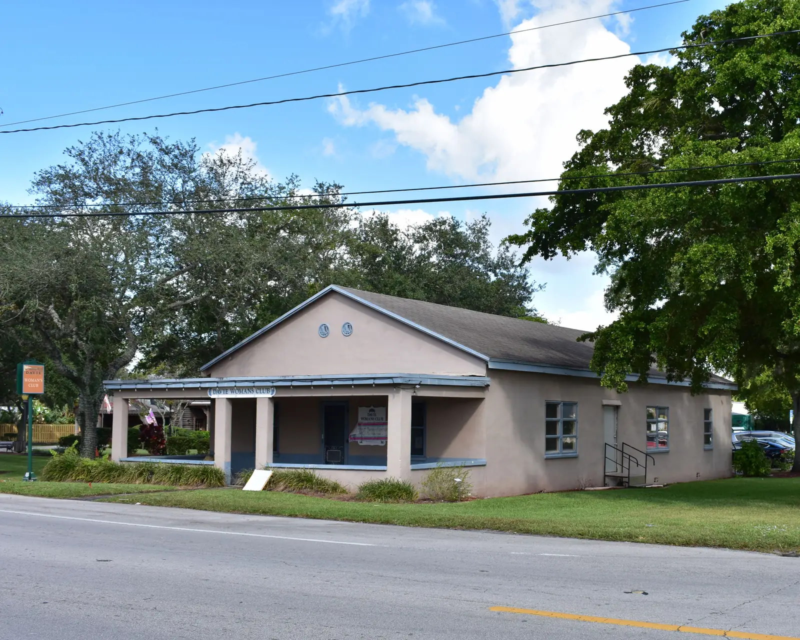
Downtown Davie and the South Florida Education Center share Planning Area 8, from University Drive to the Turnpike. ZIP 33314 value $397,432.
Last checked Oct. 8, 2026. Sources: the Town of Davie’s comprehensive plan and community shuttles page, Broward County Public Schools’ 2025-26 attendance boundaries, the Florida Department of Education’s 2026 school grades, the Zillow Home Value Index and OpenStreetMap. Part of our Davie neighborhoods guide.
This is the old heart of Davie and its university district in one planning area. The town’s comprehensive plan calls Planning Area 8 “the most diverse”: older small shops and single-family streets, mobile home communities, and new large apartment complexes serving the South Florida Education Center. It also holds the downtown district “where western-theme architecture is required,” Town Hall and the rodeo arena. For things to do downtown, see our downtown Davie guide; this page covers living here.
What this means for you
- Zoned high school: split between Hollywood Hills High (C for 2026), Stranahan High (A) and South Plantation High (A). Confirm any address in Find My School.
- Home value: the typical home in ZIP 33314 was worth $397,432 in August 2026, Zillow says.
- Nearest interstate exits: I-595 Exit 7 (Davie Road) and Florida’s Turnpike Exit 53 (Griffin Road).
Where it is
The plan does not list boundary roads for Planning Area 8, but its neighbors fix them: it is the land between University Drive and Florida’s Turnpike, from Nova Drive south to about Griffin Road. Davie Road and Orange Drive cross in the middle; OpenStreetMap marks the area around them as “Downtown Davie” and the streets east of Davie Road as “Playland Village.”
The South Florida Education Center campus fills much of the north. The plan lists Nova Southeastern University, Florida Atlantic University, Broward College (then Broward Community College), Florida International University and McFatter Technical College among its members. The plan says homes east of the Davie Road corridor have been the focus of community redevelopment, and names traffic around the campus and the University Drive and I-595 interchange as a local issue.
ZIP codes: nearly all of the area is in 33314, according to the Census Bureau’s ZIP code boundaries.
Schools
On Broward County Public Schools’ 2025-26 attendance boundary map:
| Level | School | Where | 2026 state grade |
|---|---|---|---|
| Elementary | Davie Elementary, 7025 SW 39th St. | Most of the area | B |
| Elementary | Tropical Elementary | Northern strip | B |
| Middle | Driftwood Middle | South and west | C |
| Middle | New River Middle | East | B |
| Middle | Seminole Middle | Northern strip | B |
| High | Hollywood Hills High | South and west | C |
| High | Stranahan High | East | A |
| High | South Plantation High | Northern strip | A |
Several schools sit inside the area without their own attendance zones in the district’s boundary data: Nova High and Nova Middle on College Avenue (both A), Nova Dwight D. Eisenhower Elementary (A) and Nova Blanche Forman Elementary (B), College Academy at Broward College (A) and McFatter Technical College (A). The district explains how to apply on its school choice page. Letters are the state’s 2026 school grades; full report cards are on EDStats. More: our Davie schools guide.
Home values
The Zillow Home Value Index put the typical home in ZIP 33314 at $397,432 in August 2026, down 2.2% from $406,446 in August 2025. The town-wide figure was $516,933, down 2.1%. ZIP 33314 also covers unincorporated land east of the Turnpike. The index is a modeled typical value for the middle third of homes, not a sale price. More: Davie home prices.
Parks and trails
- Veterans Park, 5750 SW 39th St.
- Bergeron Rodeo Grounds, 4201 SW 65th Way, the town’s rodeo arena and event ground (see downtown Davie)
- Betty Booth Roberts Park on SW 61st Avenue, Potter Park, James Ale Memorial Park, Firefighters Park and Lange Park, all mapped on OpenStreetMap
- The Orange Drive Linear Park trail along the canal, which crosses the area east to west
More: parks and trails and walking and biking trails.
Getting around
- Interstates: I-595 Exit 7 (Davie Road) and Exit 6 (University Drive) on the north; Florida’s Turnpike Exit 53 (Griffin Road) on the southeast. Exit numbers are from OpenStreetMap.
- Distance by road: Town Hall, 6591 Orange Drive, is inside the area. Fort Lauderdale-Hollywood International Airport is about 6 miles by road from downtown, measured on OpenStreetMap’s road network with the OSRM route planner; that is a distance, not a drive time.
- Buses: Broward County Transit Routes 2, 9 and 12 stop here, according to BCT’s summer 2026 schedule data. The town’s free community shuttles, including the South Florida Education Center route, are on the town’s shuttles page and in getting around Davie.
Groceries and everyday stores
From OpenStreetMap:
- Publix, 6525 Nova Drive
- CVS Pharmacy, Davie Road near Nova Drive
Libraries: NSU’s Alvin Sherman Library, 3100 Ray Ferrero Jr. Blvd., and the shared FAU and Broward College library on the central campus.
How we built this page
Descriptions come from the town’s comprehensive plan; school zones from the district’s 2025-26 boundary data, published by Broward County’s GIS office; ZIP codes from the Census Bureau; place names, parks, stores and exit numbers from OpenStreetMap (© OpenStreetMap contributors); park and venue addresses from the town and our parks guide.
Related: all Davie neighborhoods, downtown Davie things to do and history and landmarks.
Frequently asked questions
What is in Planning Area 8 in Davie?
The town’s comprehensive plan says it holds downtown Davie’s Western-theme district, the town government offices, the rodeo arena and the South Florida Education Center, home to Nova Southeastern University, Broward College’s central campus, FAU and McFatter Technical College, plus older homes and mobile home communities.
What schools are in downtown Davie?
Davie Elementary, 7025 SW 39th St., is the zoned elementary school for most homes. The Nova schools on College Avenue and Davie Road, College Academy at Broward College and McFatter Technical College are also in the area.
What high school is downtown Davie zoned for?
It is split. On the district’s 2025-26 map, the south and west are zoned for Hollywood Hills High (graded C for 2026), the east for Stranahan High (A) and a northern strip for South Plantation High (A). Check any address in Find My School.
What ZIP code is downtown Davie?
33314 covers almost all of it. Zillow’s typical home value in 33314 was $397,432 in August 2026, down 2.2% in a year.
Have your say