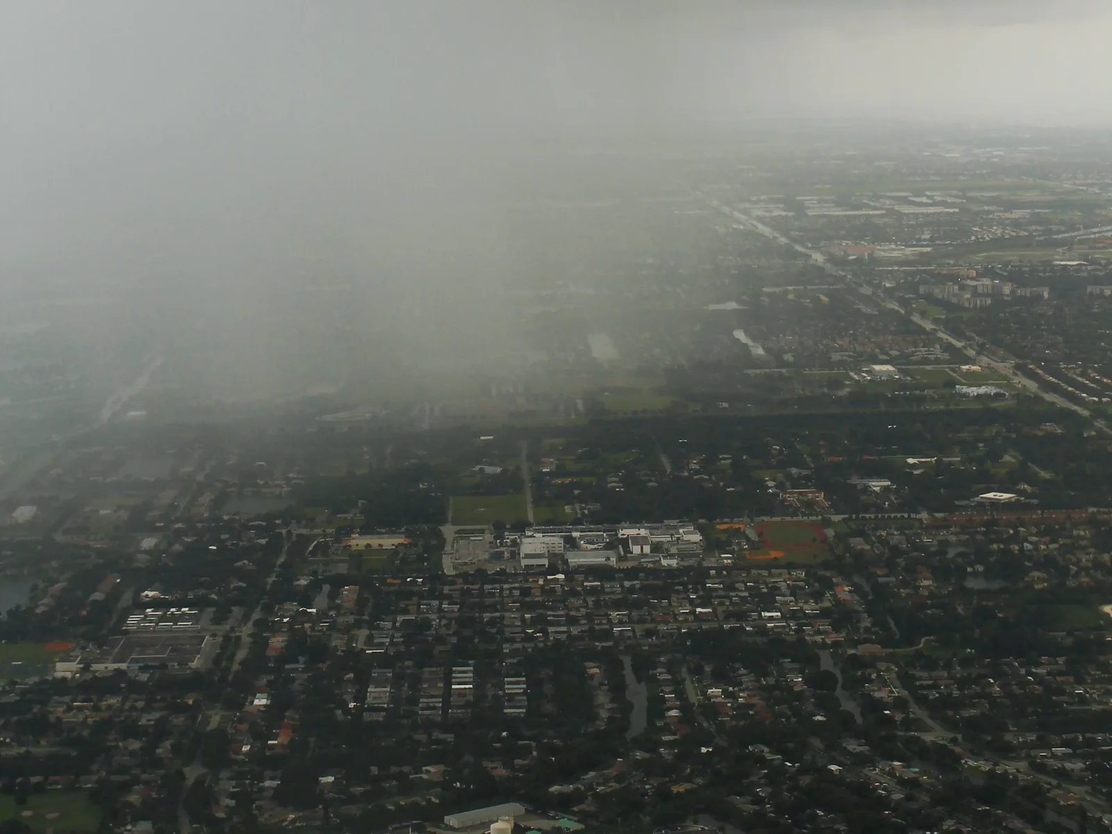
South University Drive, between Griffin and Stirling roads, is Davie's retail and library strip. Mostly zoned for Cooper City High; ZIP 33328 $626,047.
Last checked Oct. 8, 2026. Sources: the Town of Davie’s comprehensive plan, Broward County Public Schools’ 2025-26 attendance boundaries, the Florida Department of Education’s 2026 school grades, the Zillow Home Value Index, Broward County Transit and OpenStreetMap. Part of our Davie neighborhoods guide.
South University Drive is Davie’s main shopping strip below Griffin Road. The town’s comprehensive plan calls it Planning Area 10 and says retail centers and office buildings line both sides of University Drive. Behind them are apartments on the northern half of the east side, a commerce park on the southern half, several small single-family communities, about 30 acres of mobile home parks and an 8-acre industrial park. The plan also lists a regional library, several churches, a Girl Scout campground and a private school.
What this means for you
- Zoned high school: Cooper City High (graded A for 2026) for most addresses; Hollywood Hills High (C) on the eastern edge. Confirm in Find My School.
- Home value: the typical home in ZIP 33328 was worth $626,047 in August 2026, Zillow says.
- Nearest interstate exit: Florida’s Turnpike Exit 53 (Griffin Road), about 2 miles east; I-595 Exit 6 (University Drive) is about 3 miles north.
Where it is
The plan places Planning Area 10 north of Stirling Road, south of Griffin Road, east of Pine Island Road and west of SW 76th Avenue. It is a narrow band centered on University Drive, with commercial frontage on Griffin Road as well. The plan says the town expects commercial uses to expand here as farmland is developed. Cooper City begins across Stirling Road.
The whole area is in ZIP code 33328, according to the Census Bureau’s ZIP code boundaries.
Schools
On Broward County Public Schools’ 2025-26 attendance boundary map:
| Level | School | Where | 2026 state grade |
|---|---|---|---|
| Elementary | Silver Ridge Elementary, 9100 SW 36th St. | Most of the area | A |
| Elementary | Cooper City Elementary, 5080 SW 92nd Ave. | Southern streets | A |
| Middle | Pioneer Middle, 5350 SW 90th Ave. | Most of the area | A |
| Middle | Driftwood Middle | Eastern edge | C |
| High | Cooper City High, 9401 Stirling Road | Most of the area | A |
| High | Hollywood Hills High | Eastern edge | C |
Pioneer Middle and Cooper City High are in Cooper City. Letters are the state’s 2026 school grades; full report cards are on EDStats. The high school line runs through the area, so check the exact address in Find My School. More: our Davie schools guide.
Home values
The Zillow Home Value Index put the typical home in ZIP 33328 at $626,047 in August 2026, down 0.7% from $630,219 in August 2025. The town-wide figure was $516,933, down 2.1%. ZIP 33328 also covers Pine Island Ridge and part of Cooper City, so it is not specific to this strip. The index is a modeled typical value for the middle third of homes, not a sale price. More: Davie home prices.
Parks and trails
- The Orange Drive Linear Park trail runs along the canal on the area’s north edge; see walking and biking trails.
- Wolf Lake Park, 5400 SW 76th Ave., is just across SW 76th Avenue on the east edge.
- Tree Tops Park, 3900 SW 100th Ave., is about 2 miles northwest.
More: parks and trails.
Getting around
- Interstates: Florida’s Turnpike Exit 53 (Griffin Road) to the east and I-595 Exit 6 (University Drive) to the north. Exit numbers are from OpenStreetMap.
- Distance by road from University Drive in the middle of the area: about 2 miles to Davie Town Hall and about 8 miles to Fort Lauderdale-Hollywood International Airport, measured on OpenStreetMap’s road network with the OSRM route planner. These are distances, not drive times.
- Buses: Broward County Transit Route 2 (University Drive Local) and Route 16 (Stirling Road Local) stop here, according to BCT’s summer 2026 schedule data. See the BCT site and getting around Davie.
Groceries and everyday stores
From OpenStreetMap:
- Publix, 4701 S. University Drive
- Target, 5800 S. University Drive
- CVS Pharmacy, 4610 S. University Drive
- Davie Shopping Center, at University Drive and Griffin Road
- Davie/Cooper City Branch Library, 4600 SW 82nd Ave.
How we built this page
Descriptions come from the town’s comprehensive plan; school zones from the district’s 2025-26 boundary data, published by Broward County’s GIS office; ZIP codes from the Census Bureau; school addresses from the federal NCES directory; parks, stores and exit numbers from OpenStreetMap (© OpenStreetMap contributors); bus routes from BCT’s published schedule data.
Related: all Davie neighborhoods, Pine Island Ridge and Davie vs Cooper City vs Plantation vs Pembroke Pines.
Frequently asked questions
What is the South University Drive area of Davie?
The town’s comprehensive plan calls it Planning Area 10: north of Stirling Road, south of Griffin Road, east of Pine Island Road and west of SW 76th Avenue. Shops and offices line University Drive, with apartments, small single-family communities and mobile home parks behind them.
What high school is South University Drive in Davie zoned for?
Most of it is zoned for Cooper City High, 9401 Stirling Road, graded A for 2026. The eastern edge is zoned for Hollywood Hills High, graded C. Check the address in the district’s Find My School tool.
Where is the library on University Drive in Davie?
The Davie/Cooper City Branch Library is at 4600 SW 82nd Ave., just west of University Drive near Griffin Road, according to OpenStreetMap.
What ZIP code is South University Drive, Davie?
33328, according to the Census Bureau’s ZIP code boundaries. Zillow’s typical home value there was $626,047 in August 2026, down 0.7% in a year.
Have your say