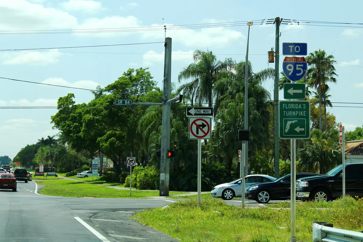
Shenandoah fills Davie's northwest corner between I-75, I-595, SW 14th Street and Flamingo Road. Zoned for Western High; ZIP 33325 value $608,346.
Last checked Oct. 8, 2026. Sources: the Town of Davie’s comprehensive plan, Broward County Public Schools’ 2025-26 attendance boundaries, the Florida Department of Education’s 2026 school grades, the Zillow Home Value Index, Broward County Transit and OpenStreetMap. Part of our Davie neighborhoods guide.
Shenandoah is the residential corner of Davie wedged between two interstates. The town’s comprehensive plan calls it Planning Area 3 and says the Shenandoah development occupies its western half. Homes are built at 3 to 10 an acre, and shops line the State Road 84 corridor along the north edge. Western High and Flamingo Elementary both sit inside the area.
What this means for you
- Zoned high school: Western High (graded A for 2026). Confirm any address in the district’s Find My School tool.
- Home value: the typical home in ZIP 33325 was worth $608,346 in August 2026, Zillow says.
- Nearest interstate exit: I-595 Exit 1 (SW 136th Avenue), on the area’s north edge.
Where it is
The plan bounds Planning Area 3 by I-595 on the north, I-75 on the west, SW 14th Street on the south and Flamingo Road on the east. State Road 84 runs beside I-595 along the north edge of the area, and SW 136th Avenue runs north to it. The Census Bureau’s ZIP code boundaries put almost all of the area in ZIP code 33325. OpenStreetMap labels the neighborhood “Shenandoah.”
Neighbors: Weston lies west across I-75, Sunrise and Plantation north across I-595, and the rest of Davie’s ranch country south of SW 14th Street (see West Davie).
Schools
Broward County Public Schools assigns students by home address. On the district’s 2025-26 attendance boundary map, Shenandoah is zoned as follows:
| Level | School | Address | 2026 state grade |
|---|---|---|---|
| Elementary | Flamingo Elementary (most of the area) | 1130 SW 133rd Ave. | A |
| Elementary | Fox Trail Elementary (eastern edge) | 1250 S. Nob Hill Road | A |
| Middle | Indian Ridge Middle | 1355 S. Nob Hill Road | A |
| High | Western High | 1200 SW 136th Ave. | A |
Grades are from the state’s 2026 school grades file; each school’s full report card is on the state’s EDStats school report cards. A street near a boundary line can be zoned differently, so check the exact address in Find My School. More on the district, calendars and choice programs: our Davie schools guide.
Home values
The Zillow Home Value Index put the typical home in ZIP 33325 at $608,346 in August 2026, down 1.9% from $620,407 in August 2025. The town-wide figure was $516,933, down 2.1% on the year. The index is a modeled typical value for the middle third of homes, not a sale price. More: Davie home prices and property taxes.
Parks and trails
OpenStreetMap shows two neighborhood parks inside the area, Shenandoah Park and Liberty Park. The big open spaces are a short drive south: Vista View Park, 4001 SW 142nd Ave., and Robbins Preserve, 4005 S. Hiatus Road, both described in our parks and trails guide.
Getting around
- Interstates: I-595 Exit 1 (SW 136th Avenue) is on the north edge. I-75 meets I-595 and the Sawgrass Expressway at I-75 Exit 19, at the area’s northwest corner; I-75 Exit 15 (Royal Palm Boulevard) is just west in Weston. Exit numbers are from OpenStreetMap.
- Distance by road from Shenandoah Parkway: about 10 miles to Davie Town Hall, 6591 Orange Drive, and about 14 miles to Fort Lauderdale-Hollywood International Airport. These are road distances measured on OpenStreetMap’s road network with the OSRM route planner, not drive times.
- Buses: Broward County Transit Route 23 (Pembroke Lakes Mall to Sawgrass Mills) stops in the area, according to BCT’s published summer 2026 schedule data. Check the BCT site for current maps. The town’s free shuttles are covered in getting around Davie.
Groceries and everyday stores
From OpenStreetMap:
- Publix, 13700 W. State Road 84
- Walgreens, State Road 84 near SW 136th Avenue
How we built this page
Boundaries come from the town’s comprehensive plan; school zones from the district’s 2025-26 boundary data, published by Broward County’s GIS office; ZIP codes from the Census Bureau; parks, stores and exit numbers from OpenStreetMap (© OpenStreetMap contributors); bus routes from Broward County Transit’s published schedule data. Trash days in Davie depend on which side of Flamingo Road you live; see trash and recycling.
Related: all Davie neighborhoods, West Davie and moving to Davie.
Frequently asked questions
Where is Shenandoah in Davie?
In the town’s northwest corner. The town’s comprehensive plan puts Planning Area 3, which includes the Shenandoah development, between I-595 on the north, I-75 on the west, SW 14th Street on the south and Flamingo Road on the east.
What high school is Shenandoah in Davie zoned for?
Western High, 1200 SW 136th Ave., which sits inside the area and earned an A in the state’s 2026 school grades. Most homes are zoned for Flamingo Elementary and Indian Ridge Middle, both also graded A.
Is Shenandoah a good place to live?
On the facts: it is a residential area of 3 to 10 homes an acre, zoned for A-rated Western High, with a Publix on State Road 84 and I-595 Exit 1 at its edge. The typical home value in ZIP 33325 was $608,346 in August 2026, according to Zillow.
What ZIP code is Shenandoah, Davie?
Almost all of it is in ZIP code 33325, according to the Census Bureau’s ZIP code boundaries.
Have your say