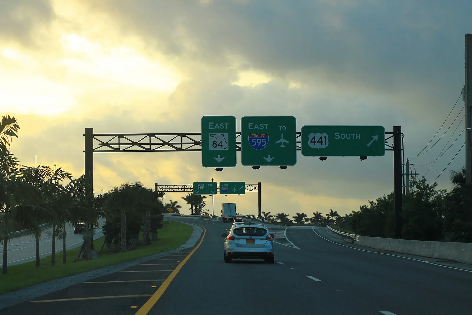
East Davie covers the research park north of Nova Drive and the State Road 7 strip east of the Turnpike. ZIP 33314 value: $397,432 (August 2026).
Last checked Oct. 8, 2026. Sources: the Town of Davie’s comprehensive plan, Broward County Public Schools’ 2025-26 attendance boundaries, the Florida Department of Education’s 2026 school grades, the Zillow Home Value Index, Broward County Transit and OpenStreetMap. Part of our Davie neighborhoods guide.
East Davie is the town’s most commercial planning area. The comprehensive plan calls it Planning Area 6 and joins two pieces: the land between University Drive and Davie Road north of Nova Drive, zoned Regional Activity Center, Research and Technology, and the strip between Florida’s Turnpike and State Road 7 (U.S. 441), which the town has designated for redevelopment under a corridor master plan. The town says it is encouraging development here “to strengthen the Town’s nonresidential tax base.”
What this means for you
- Zoned high school: South Plantation High near University Drive, Stranahan High on most of the State Road 7 strip, Hollywood Hills High at its southern end. Confirm in Find My School.
- Home value: the typical home in ZIP 33314, the main ZIP code, was worth $397,432 in August 2026, Zillow says.
- Nearest interstate exits: I-595 Exit 7 (Davie Road), Exit 8 (Florida’s Turnpike) and Exit 9 (U.S. 441/State Road 7); Turnpike Exit 54.
Where it is
The plan describes Planning Area 6 as:
- the land south of State Road 84, east of University Drive and north of Nova Drive; and
- the land east of Florida’s Turnpike and west of State Road 7, south of State Road 84 and north of the town’s southern limits.
It notes small commercial parcels along State Road 7, one large retail center at the southeast corner of University Drive and SR 84, and former industrial land on both sides of Davie Road between SR 84 and Nova Drive that now allows commercial use. Plantation is north across I-595; Fort Lauderdale and unincorporated Broward lie east of State Road 7.
ZIP codes: about two-thirds of the area is in 33314, most of the rest in 33317, and a sliver in 33312, according to the Census Bureau’s ZIP code boundaries.
Schools
On Broward County Public Schools’ 2025-26 attendance boundary map:
| Part of the area | Elementary | Middle | High |
|---|---|---|---|
| Research park, University Drive to Davie Road | Tropical (B) | Seminole (B) | South Plantation (A) |
| State Road 7 strip, most of it | Stephen Foster (A) | New River (B) | Stranahan (A) |
| State Road 7 strip, southern end | Driftwood (B) | Driftwood (C) | Hollywood Hills (C) |
A few blocks near Davie Road are zoned for Davie Elementary (B). Letters are the state’s 2026 school grades; full report cards are on EDStats. Zones change street by street here, so check the exact address in Find My School. More: our Davie schools guide.
Home values
From the Zillow Home Value Index, August 2026:
| ZIP code | Typical value | Change from August 2025 |
|---|---|---|
| 33314 | $397,432 | Down 2.2% |
| 33317 | $543,429 | Down 0.5% |
| Davie, whole town | $516,933 | Down 2.1% |
Both ZIP codes reach beyond Davie, into Plantation and unincorporated Broward County. The index is a modeled typical value for the middle third of homes, not a sale price. More: Davie home prices.
Parks and trails
- Wes Griffin Park is mapped in the research park area on OpenStreetMap.
- The Orange Drive Linear Park trail starts at Florida’s Turnpike and runs west along the canal across town; see walking and biking trails.
Getting around
- Interstates: I-595 Exit 7 (Davie Road), Exit 8 (Florida’s Turnpike) and Exit 9 (U.S. 441/State Road 7). On the Turnpike, Exit 54 connects to I-595 and SR 84, and Exit 53 is Griffin Road. Exit numbers are from OpenStreetMap.
- Distance by road from the research park: about 3.5 miles to Davie Town Hall and about 7 miles to Fort Lauderdale-Hollywood International Airport, measured on OpenStreetMap’s road network with the OSRM route planner. These are distances, not drive times.
- Buses: BCT’s summer 2026 schedule data shows stops for Route 18 (US 441 Local), Route 441 (SR 7 Breeze), Routes 9, 12 and 15, and the 595 Express (Route 114). See the BCT site and getting around Davie.
Groceries and everyday stores
From OpenStreetMap:
- Costco, 1890 S. University Drive
- Trader Joe’s, 2296 S. University Drive
Publix, 6525 Nova Drive, is just south in the downtown and university area.
How we built this page
Boundaries and descriptions come from the town’s comprehensive plan; school zones from the district’s 2025-26 boundary data, published by Broward County’s GIS office; ZIP codes from the Census Bureau; parks, stores and exit numbers from OpenStreetMap (© OpenStreetMap contributors); bus routes from BCT’s published schedule data.
Related: all Davie neighborhoods, downtown Davie and the university area and property taxes.
Frequently asked questions
What part of Davie is east of the Turnpike?
The town’s comprehensive plan puts the land east of Florida’s Turnpike and west of State Road 7, south of State Road 84, in Planning Area 6, together with the research park north of Nova Drive. The town has a corridor master plan for redeveloping State Road 7.
What high school is east Davie zoned for?
It depends on the street. The research park side near University Drive is zoned for South Plantation High (A for 2026); most of the State Road 7 strip for Stranahan High (A); its southern end for Hollywood Hills High (C). Check the address in Find My School.
What buses serve State Road 7 in Davie?
Broward County Transit’s US 441 Local (Route 18) and the SR 7 Breeze (Route 441) stop in the area, along with Routes 9, 12 and 15 and the 595 Express (Route 114), according to BCT’s summer 2026 schedule data.
What ZIP codes are in east Davie?
Mostly 33314, with the research park area in 33317 and a sliver in 33312. Zillow’s typical home value was $397,432 in 33314 and $543,429 in 33317 in August 2026.
Have your say